
Geolocation Data for Government: Turn Raw Signals into Real Insights

Various areas of the federal government increasingly depend on geolocation data, proving essential for everything from understanding natural disasters to supply chain security and threat mitigation.
Yet, geolocation signals only deliver value when they are precise, privacy-aligned, and ready for immediate analysis. If teams need to build the entire location data processing infrastructure themselves, they’ll quickly find the required costs and time balloon.
Below, we expand on some of the most established use cases for geolocation data in the public sector space and the problems that arise with the commercially available raw data.
What is Geolocation Data
Geolocation data refers to time-stamped geographic coordinates that represent real-world movement patterns of anonymized users. The data is sourced through applications on mobile devices via software development kits (SDKs) that have received appropriate user permissions to access these signals to determine the device's geographic coordinates.
The raw geolocation data typically includes latitude, longitude, timestamp, and an anonymized device identifier. This data is transmitted from the app to backend servers via SDKs, which are then collected by data brokers and aggregators and made commercially available on the market.
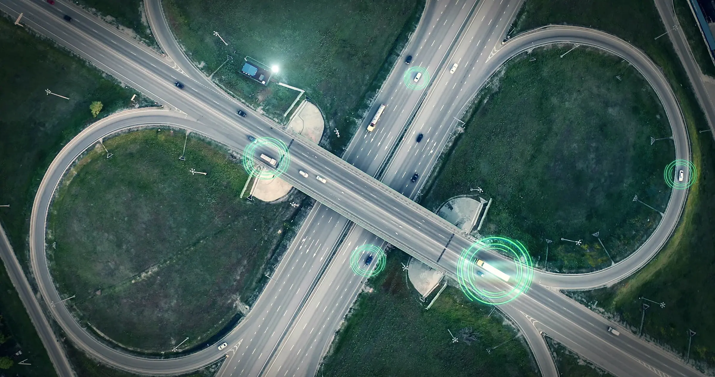
How Are Government Agencies and Organizations Using Geolocation Data?
Geolocation data isn’t confined to a single mission or industry. By mapping how devices move and congregate, agencies and their private‑sector partners unlock insights that span security, logistics, and economic resilience.
- Supply chain security & risk management: Monitoring global human‑mobility trends to discover chokepoints, surface anomalies, and anticipate disruptions across complex logistics networks.
- Critical infrastructure & force protection: Detecting unusual movement around key locations or high-value assets, enabling proactive countermeasures to safeguard personnel and facilities.
- Insider‑threat & cyber‑physical monitoring: Correlating personnel movements with digital events to uncover unauthorized access, data‑exfiltration patterns, or other signs of insider malfeasance.
- Border security & transnational illicit activity: Tracking routes used for narcotics smuggling and human‑trafficking operations to support interdiction and investigative task forces.
- Open‑source intelligence (OSINT) enrichment: Linking devices, co‑travelers, and visit patterns to reveal networks, hotspots, and emerging threats within public‑domain investigations.
- Foreign influence & economic security: Verifying suppliers and contract partners for ties to foreign adversaries, protecting critical infrastructure and national interests.
Across every use case, confidence in the outcome depends on confidence in the underlying data.
Raw Versus Processed Data
One of the biggest issues with geolocation data is anomalies that do not represent the patterns of real people. Synthetic data plagues commercially available geolocation data supplies, with fraudsters rapidly changing their tactics. Some data brokers have seen as much as 45% of their data is comprised of synthetic signals. Working with raw data directly from a broker will include these unidentified synthetic signals, alongside those that represent actual users and real behavioral data.
Thus, organizations and agencies building products or deriving insights from geolocation data often need to cut through the noise while receiving as much contextual analytics for each signal as possible.
Handling this level of geolocation data processing costs millions upon millions of dollars each year. This is where Venntel comes in.
In contrast to data brokers, Venntel processes raw geolocation data from many sources to enhance its quality, reduce noise, and provide robust analytics on each signal. We work with over a dozen vetted data vendors to bring their signals into a singular, reliable data stream. Our processing engine deduplicates overlapping signals, groups temporally or spatially proximate pings, and provides 24 informational and contextual analytics to each signal.
As such, raw data becomes curated geolocation data products better suited for analyzing behavior.
Raw Versus Processed Data
Accurate, consented geolocation data is indispensable for modern private sector operations and advanced commercial analytics, yet raw feeds are rife with noise that sabotages those initiatives. Venntel solves the quality problem upstream, providing mission‑ready datasets that reduce engineering overhead, improve model accuracy, and withstand rigorous privacy audits. Agencies and enterprises that insist on clean mobility signals can devote more resources to solving real‑world challenges—rather than correcting flawed inputs—and do so with confidence that their insights rest on a compliant, defensible foundation.
Want to learn more about how Venntel’s geolocation products can support your goals? Contact us for a secure consultation.